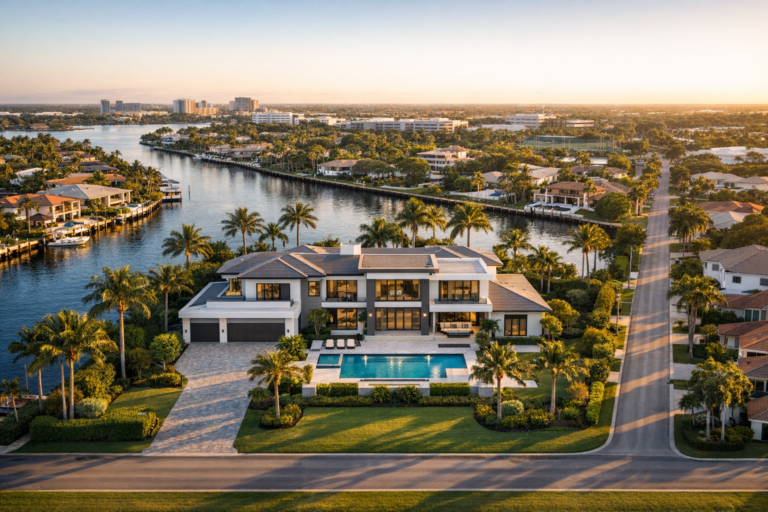
How Real Estate Drone Photography Shows Location, Not Just the Home
Strong property marketing is not only about the building. Learn how aerial imagery helps buyers understand location, access, surroundings, and value.


Strong property marketing is not only about the building. Learn how aerial imagery helps buyers understand location, access, surroundings, and value.
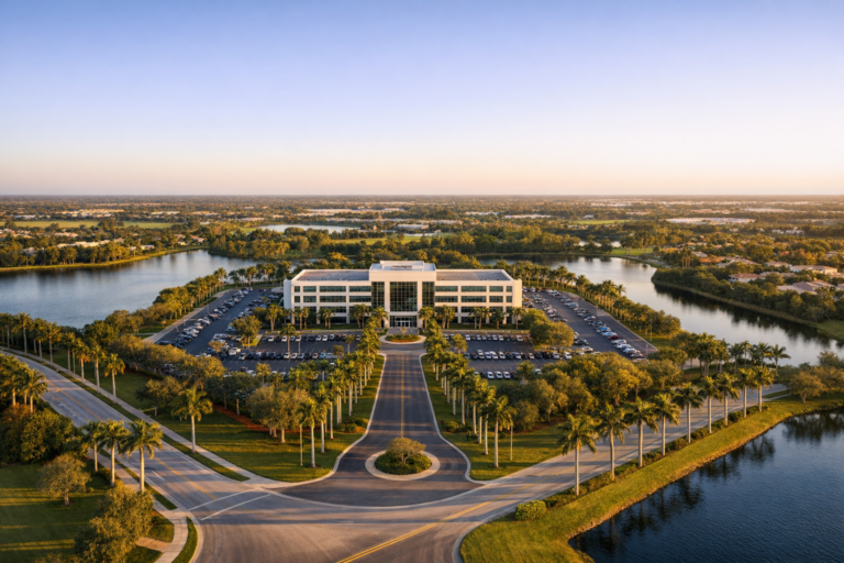
Large South Florida properties are difficult to understand from the ground. Learn how drone imagery clarifies scale, access, amenities, and development potential.
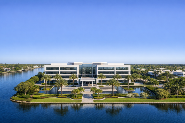
Learn when aerial imagery, ground photos, or a combined approach gives South Florida real estate listings the clearest story and strongest marketing impact.
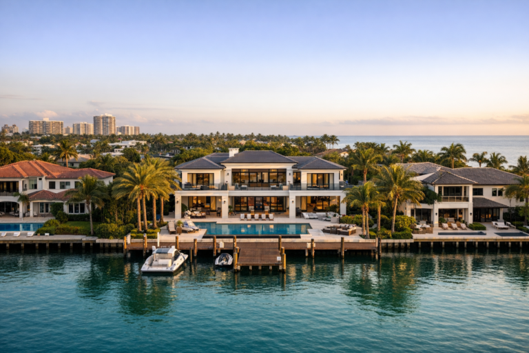
Aerial photography gives waterfront listings the context buyers need by showing water access, views, property scale, and surrounding lifestyle from above.
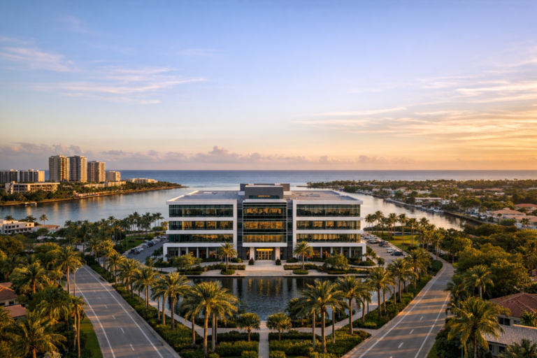
Learn how professional drone photography helps South Florida businesses market properties, document projects, improve visibility, and make better operational decisions.
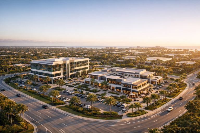
Commercial property owners use drone photography to market properties, document progress, improve reporting, and show location context that ground-level images cannot capture.

A practical guide for property managers, marketers, and owners using professional drone photography to better showcase Boca Raton apartment communities.

Learn how aerial photography helps Coral Springs shopping centers showcase visibility, access, parking, tenant mix, and property condition for leasing, marketing, and asset management.

A practical guide for Fort Lauderdale hotels and resorts planning professional drone photography that highlights amenities, location, guest experience, and brand value.

Professional drone photography helps Fort Lauderdale office buildings stand out by showing architecture, access, parking, amenities, views, and surrounding business districts clearly.