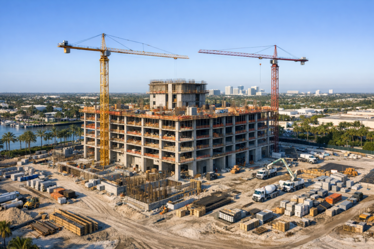
How Drone Photography Can Capture Construction Progress in a Single Image
A single drone image can summarize construction progress, improve communication, and help project teams document site conditions with clarity and consistency.


A single drone image can summarize construction progress, improve communication, and help project teams document site conditions with clarity and consistency.
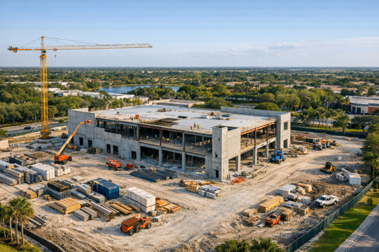
Learn how professional aerial documentation helps Coral Springs construction teams track progress, communicate clearly, and create more useful project records from above.
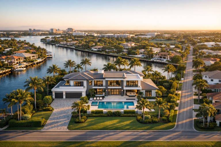
Strong property marketing is not only about the building. Learn how aerial imagery helps buyers understand location, access, surroundings, and value.
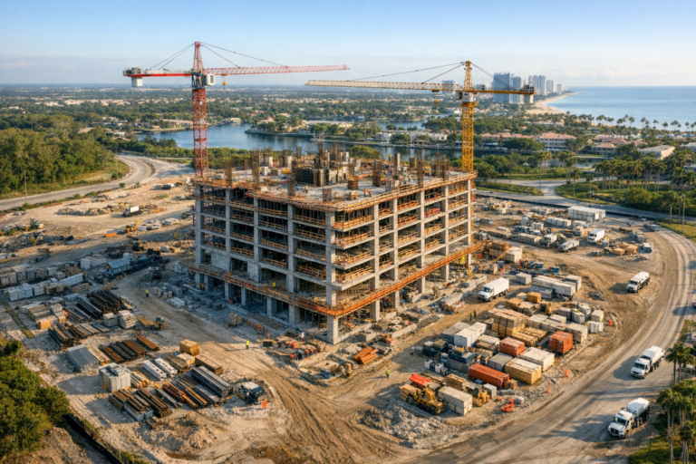
Aerial drone imagery reveals construction details that are easy to miss from the ground, helping project teams improve documentation, coordination, and decision-making.
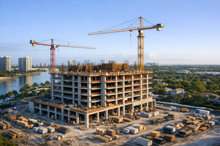
Drone photography helps project teams turn complex construction activity into clear, visual updates that are easier for stakeholders to understand and act on.
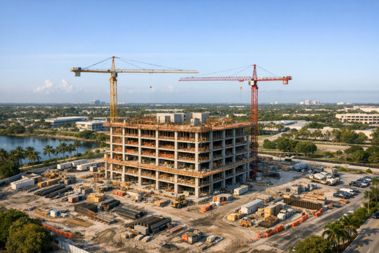
Learn how professional drone photography helps Broward County construction teams document progress, communicate clearly, reduce site gaps, and make better project decisions.
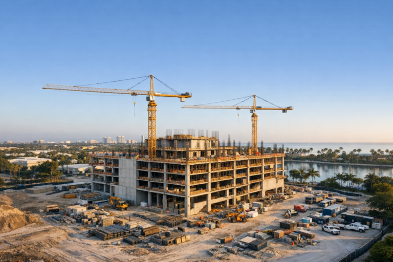
Drone photography helps commercial developers communicate progress clearly, document key milestones, and keep stakeholders aligned throughout complex construction projects.
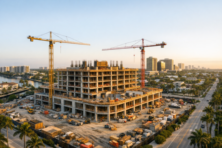
The best time for construction drone photography depends on your project goals, site conditions, weather, and whether you need documentation or marketing visuals.
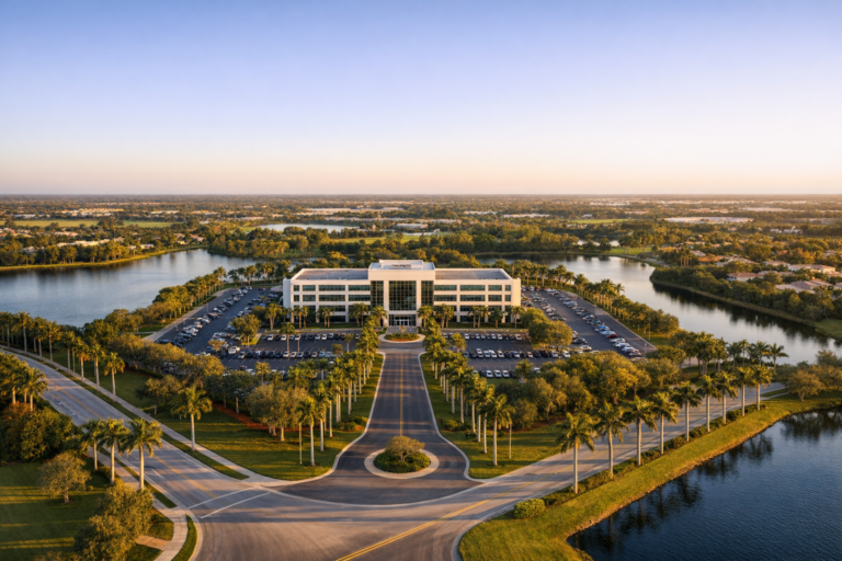
Large South Florida properties are difficult to understand from the ground. Learn how drone imagery clarifies scale, access, amenities, and development potential.
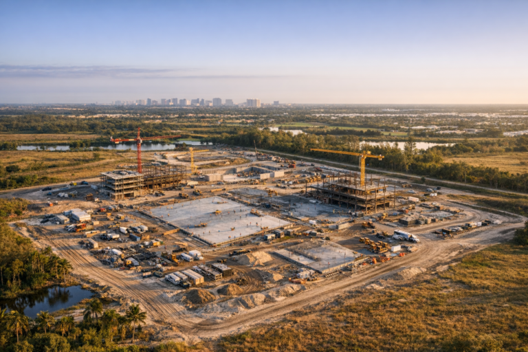
Learn how aerial construction imagery helps developers oversee large jobsites, compare progress across multiple areas, and keep project teams better informed.